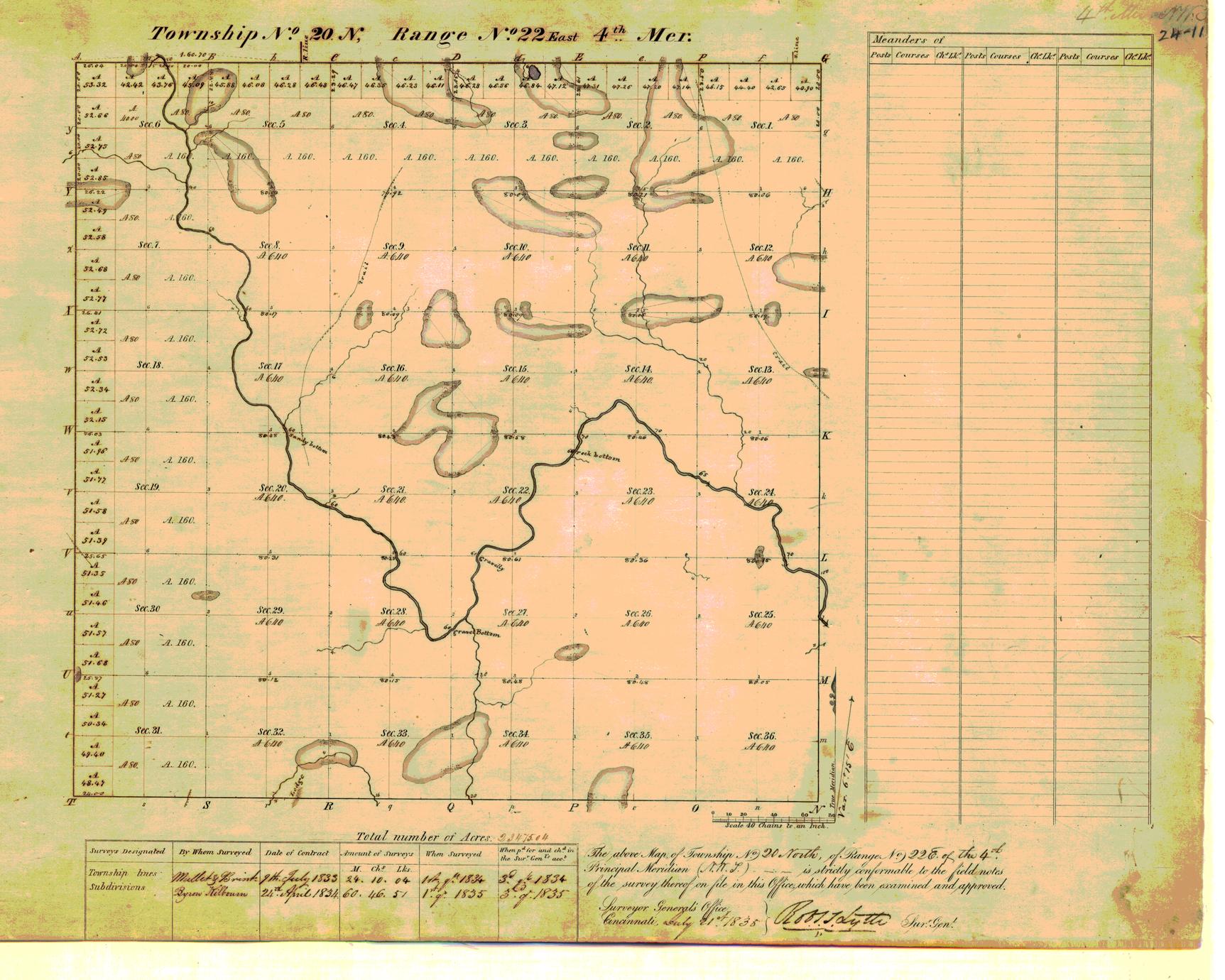

This Part 1 covers the period from 1830 through "noonish" on ApPart 2 covers more particularly what is now Oklahoma County from "noonish" through 1900. This article's purpose is to present, by maps and additional information, how Oklahoma County came to be the county that we know today and a little about its changes from the 1889 Land Run through the end of the nineteenth century, focusing on the towns that did not last to or much beyond 1900 - the latter portion is covered in Part 2 of this article. Almost all know that the county was initially populated by the Land Run of April 22, 1889, but not as many are familiar with the fact that our eastern 144 square miles were not included in that 1889 Land Run at all. Oklahoma County forms a rectangle 30 miles wide by 24 miles high, almost exactly 720 square miles, as shown in the above map which contains annotations noting the county's 20 original townships, each being 6 miles square.


 0 kommentar(er)
